February 21, 2018
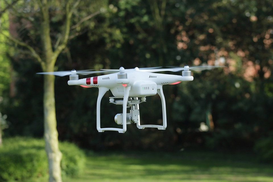
In a world first, Vodafone has announced the launch of its drone tracking and safety systems’ trials in order to improve air traffic control.
The new system uses 4G IoT technology for more secure and controlled tracking of drones. This new system was launched in collaboration with the European Aviation Safety Agency, or EASA, which is currently working on the development of new pan-European rules in order to better regulate these small unmanned aircraft which are hard to track using conventional radar systems.
It is because of the difficulty in tracking and monitoring these devices that drones were becoming a huge part of many hazardous incidents as well as clandestine activities. For example, in October 2017, a drone nearly hit an aircraft headed to London Gatwick, risking the lives of 130 passengers and aircraft crew. After that incident, only a month later, undercover operation’s footage caught a drone smuggling drugs in the recreational open area of Pentonville prison.
These are only two of the many reports wherein drones were found in undesirable places. Furthermore, there has always been the possibility that drones could be used for targeting sensitive locations such as airports and hospitals to carry small but lethal explosives, making it crucial for EASA to improve the aforementioned regulatory system.
In this regard, the principal advisor to the flight standards director at EASA, Yves Morier, has said, “We welcome Vodafone’s focus on developing new approaches to ensure safe and responsible drone use.”Another statement on the subject comes from Johan Wibergh, Vodafone Group’s chief technology officer, who said, “This groundbreaking innovation by Vodafone will help to ensure the skies stay safe as drones become ubiquitous, everywhere.”
And indeed, drones in the near future may become ubiquitous. As was suggested in the report published under the Single European Sky Air Traffic Management Research (SESAR) project which predicts that by 2050, drones will be logging more than 250 million flying hours annually, which interestingly is seven times the cumulative flying hours logged in by passenger jets per year.
How this new technology may improve the situations?
Vodafone will be first using a Radio Positioning System (RPS) for the system, which the company claims is more effective and harder to hack than the conventional GPS. To use this system, the telecommunications company will be embedding drones with 4G modem and SIM that, using radio waves, can be tracked with an accuracy of 50 metres.
The company has run some preliminary trials in late 2017, as well on the technology itself, over the town of Isla Mayor in Spain. The 2-kilogram X-UAV drone that was used in the trial has managed to transmit real-time high-definition video feed and other data like RPS location, GPS coordinates, and the device’s speed to the operator.
The company claims that, if successful, the technology will bring the following improvements in the present regulatory system of air traffic for drones.
- Real-time tracking for longer distances with up to 50-metre accuracy.
- Beyond the line of sight control by operators to prevent accidental incursions.
- Emergency control intervention by authorities such as air traffic control.
- SIM-based owner registration and more-effective identification.
- The artificial intelligence algorithms prepared by Vodafone will also help in the tracking, monitoring, and controlling of the larger number of drones.
- Protective Geofencing to make drones automatically land or return to the operator if and when it approaches the predetermined exclusion zones like airports and prisons.
Keeping in line with the original objective of European Commission’s ‘U-space’ vision, the company has also placed its research on RPS and associated intellectual property in the public domain with no licensing fees for reuse, so that there could be a worldwide acceleration in the pace of innovation for drone safety through geolocation.