Technology in agriculture – breathing new life to this old profession?
Agriculture is one of the oldest professions in history. Back in the prehistoric times, people would hunt for the primitive beasts roaming about at the time to then kill and eat in order to give themselves strength. Whereas to fulfill their dietary needs for vitamins and nutrients, they came to grow, harvest and eat plants. 20,000 years later, we no longer need to hunt animals for our survival, we have incorporated keeping animals as part of agricultural practices. However, our methods of growing and harvesting have remained loyal to its original design template; grow the plants, harvest the plants, eat the plants and repeat.
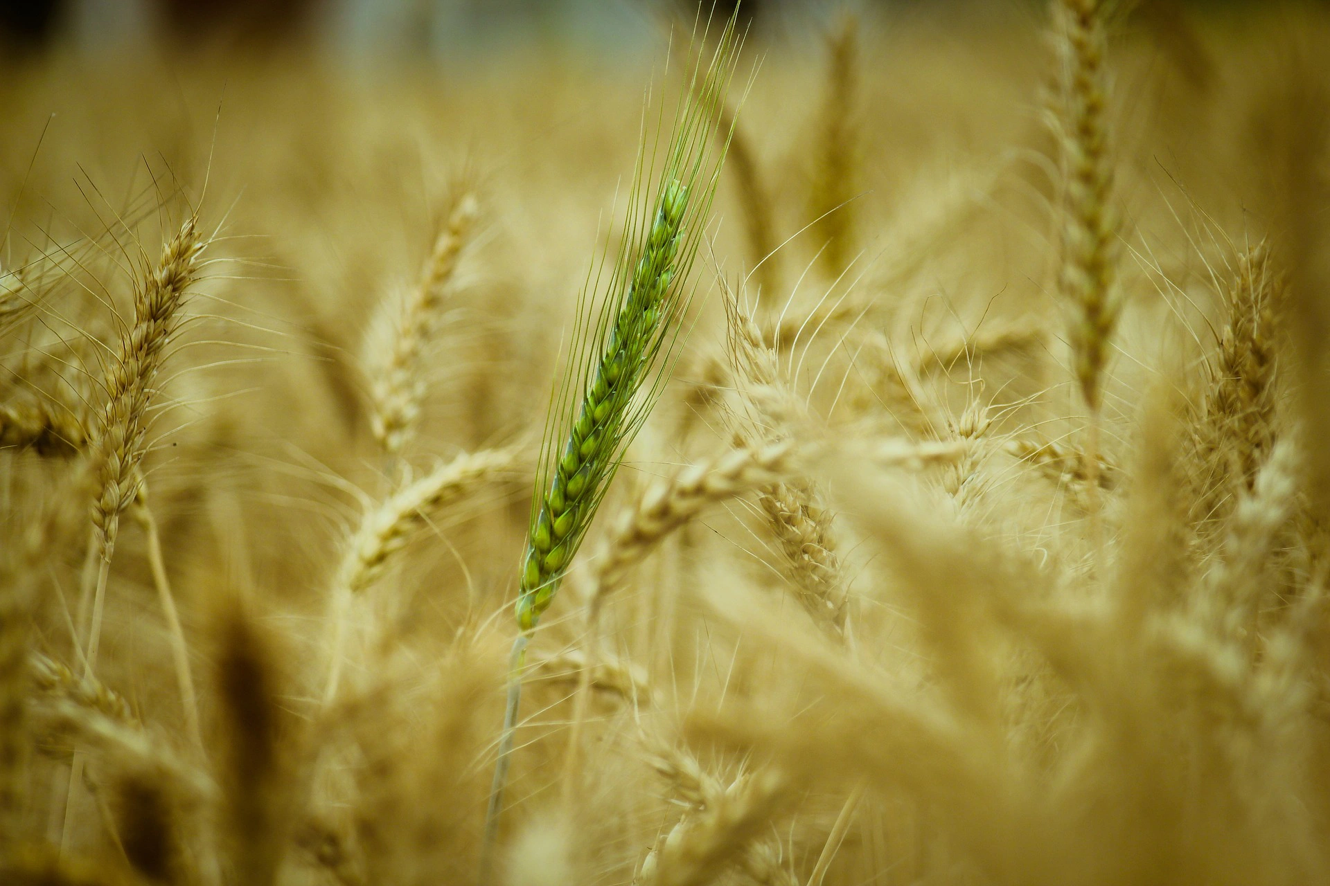
Over the years, with the help of technology, we have been able to allow agriculture to evolve to make the process more convenient and effective. The plough, the tractor and genetically modified crops helped to make farming easier so as for the future of agriculture, the sky’s the limit… or is it?
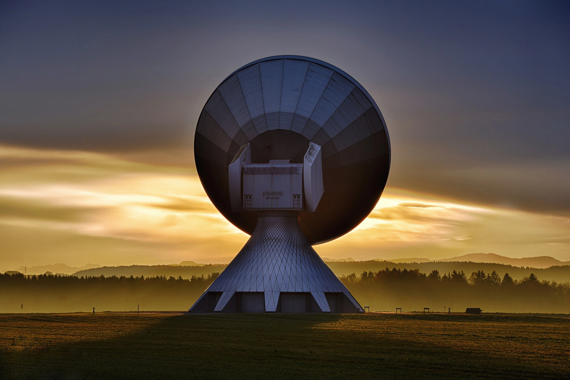
One American farmer and technology enthusiast, Lanny Faleide has used his agricultural and technological knowledge to pioneer a new way of better understanding a farmer’s lands. Called precision agriculture, or more aptly called Satellite farming, the technology utilises satellite imagery to visually determine what properties certain pieces of lands possess. Farmers can then understand their fields better and learn which patch would be the best use for different produce. Every field is different as is the variety of seeds and vegetables farmers use to make their living and contribute to society. Faleide’s company, Satshot, has managed to sell his concept to customers in his home country of the USA and to Canada as well.
While in North Dakota, Faliede’s invention is about saving space by utilising natural resources to their full potential, over at the University of Illinois, a professor of mathematics, Richard Sowers and some of his students have been working on another project to help the precision in agriculture. They have developed an algorithm to help make hand-picking crops a more effective venture by showing which places in the field yield “a higher or lower quality harvest”, therefore people picking the produce can focus more on where there is better quality produce to gather.
It is unclear whether we will see anything like this in the UK, however, we can hope. The UK has plenty of farm land, and although farmers must have a good idea of what grows where, it would be more effective if they relied on a piece of technology like Satshot to make certain that they are producing as much as they can. Faleide himself said that farmers have been slow to embrace technology, so maybe after selling to the US and Canada, he will consider rolling out his technology worldwide.
So what are farmers waiting for? As you can imagine, Faleide’s technology is rather advanced and rolling out satellite imagery for fields globally would be very expensive due to the cost of the satellites themselves as well as the sensors needed on the ground to calibrate the results. This is on top of the other outgoing costs for farmers; maintaining their tools and machines and the food itself, it doesn’t seem likely. Which is a shame as the waste of natural resources has been a big problem for the 21st Century but hopefully more technology will be developed to breathe new life into this old profession.
Algorithm used for picking crops https://phys.org/news/2018-03-algorithm-harvesting-hand-picked-crops.html
Faleide’s accomplishments https://www.jamestownsun.com/business/agriculture/4415851-tech-pioneer-talks-satellite-imagerys-role-ag
Something similar in Europe already http://www.freshplaza.com/article/190915/Boost-to-precision-agriculture-from-space

Related Post

Zoho is Splitting Activities Module: Know Why and How It Can Affect Your Business
Know how Zoho deprecating activities module is great for your business and the reasons why Zoho team announced this.
Keep Reading
Strategic Synergy: Harnessing the Potential of HubSpot's Co-Marketing for Success
The co-marketing program is your next step if you'd like to partner and co-create valuable content and foster business growth alongside HubSpot.
Keep Reading
Effective Strategies for Marketing and Promoting Your Adobe Commerce Store
With the perfect strategy for marketing, you can reach more users and increase engagement on your Adobe store.Check out our blog for top business strategies
Keep Reading